Kampung Iboi is located 75m above sea level, next to Gunung Inas Forest Reserve, downstream of Sungai Kupang.
Here, villager Azhar Md Isa shows how the stream was redirected. This is one of the smaller ponds built lower on the mountain. It survived the floods.
But around the pond are signs of damage in the form of uprooted trees, slope slumps and landslides.
The villagers said there are three large ponds at the top of the mountain. These ponds are larger than Olympic-sized swimming pools.
The villagers’ theory is the ponds gave way during heavy rain, causing the flooding downstream.
Video of villager pointing to various ponds and showing how it’s at the top of the mountain
Actually, the authorities said one pond did give way. But Universiti Malaya expert Professor Azizan Abu Samah says it is unlikely the cause of the flooding.
He said the pond did not contain enough water to cause such damage.
He said the release of water from dams, like in Semenyih and Pedu, have previously resulted in tremendous headwater and downstream flooding, but this is unlikely in the case of relatively smaller irrigation ponds.
The headwater on July 4, he said, is likely natural, but this doesn't mean the tragedy was not caused by humans.
Credit: Mohamad Hisyam Hassim
It didn’t happen overnight
The geological report on the fatal floods said unusually high rainfall at the top of the mountain is partly to blame for the disaster.
But Professor Azizan doubts this, arguing that data from two global precipitation networks - Nullschool and NASA - showed no such unusual rainfall and that the area only received less than 3 mm of rain per hour within three hours.
Video produced with assistance from Fadzil Mohd Nor (Universiti Malaya’s Institute of Earth and Ocean Sciences)
The rain that fell in the Kupang area, where the disaster took place, was twenty times less than the rain that fell on Bentong during a similarly devastating flood there on Dec 17, 2021.
Instead of one event of heavy rainfall, or irrigation ponds giving way, Professor Azizan believes the disaster was caused by poor slope management after massive forest clearing, over a period of several years.
= 10 hectare
Clearing in high risk areas
In fact, the Department of Environment (DOE) never approved the Musang King durian mega plantation.
In 2013, the approval was granted to clear all logs to turn the area into a timber latex clone rubber plantation.
But the DOE advised against clearing several "high risk" areas in the compartment, including slopes with gradients of steeper than 25 degrees.
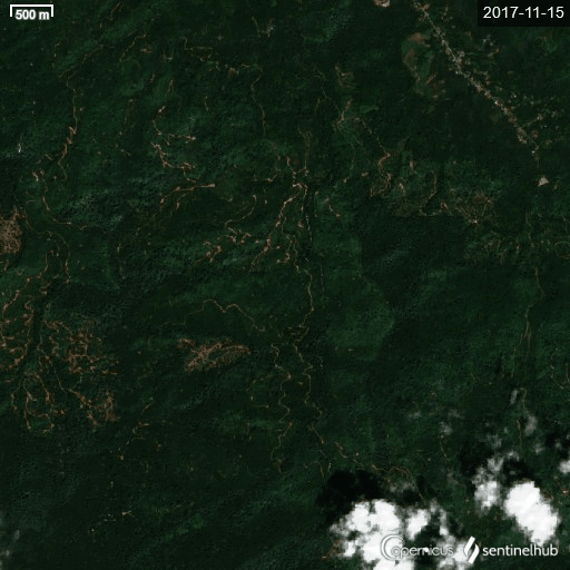
Even so, satellite imagery from 2017 to 2020 showed much of those "high risk" areas had been cleared.
The DOE said a stop-work order was issued to the durian plantation when it was discovered, following complaints of smaller floods by local residents.
There has been no active logging or plantation works at the site since 2020.
In a twist of irony, durian cultivation experts are scratching their heads on why anyone would want to plant durian on such an incline, in such conditions.
On the hike, durian saplings were spotted at 700m to 850m above sea level.
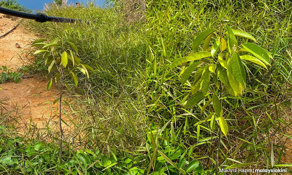
When shown pictures from our trek, durian expert, Lim Chin Khee, said such an elevated area is unsuitable for durian cultivation.
He said after 800m above sea level, durian trees are unable to blossom, while at anything higher than 600m, the durian flesh would be too pale, the Agriculture Ministry expert said.
So why did the state choose to plant durian on this mountain? Faced with bare slopes in 2018, then Kedah MB Ahmad Bashah Md Hanipah said he approved it as it was the best option at the time, after massive clearing in previous administrations.
Compartment 8 was initially cleared in 2012 under the MB Azizan Abdul Razak, as part of the poverty alleviation rubber plantation project called Ladang Sejahtera.
But by the time Mukhriz Mahathir took over as MB in May 2013, much of the land was still bare. He said he ordered terracing work to manage the bare slopes but there were management issues, leading to 2016, when Ahmad Bashah took over.
READ MORE: KINIGUIDE | Through the murky waters and mudslinging of the Baling floods
An ever present deadly risk
I really hope the authorities can do something as soon as possible to help the villagers.
So when you have heavy rainfall, the people of Kampung Iboi would be affected.
And they already are.